3D Rendering for Landscape Architecture and Master-Planned Urban Communities
Overview
Master-planned urban communities represent a monumental challenge in real estate development. Unlike standalone buildings, these projects span hundreds of acres, incorporating public parks, pedestrian networks, and evolving ecosystems. Traditional 2D master plans often fail to communicate the true human scale of a large development. In 2026, high-fidelity landscape architecture rendering serves as the critical bridge between macro-level city planning and emotional storytelling. By generating immersive visual assets, developers and urban planners can secure municipal approvals, attract institutional capital, and pre-sell residential communities long before breaking ground.
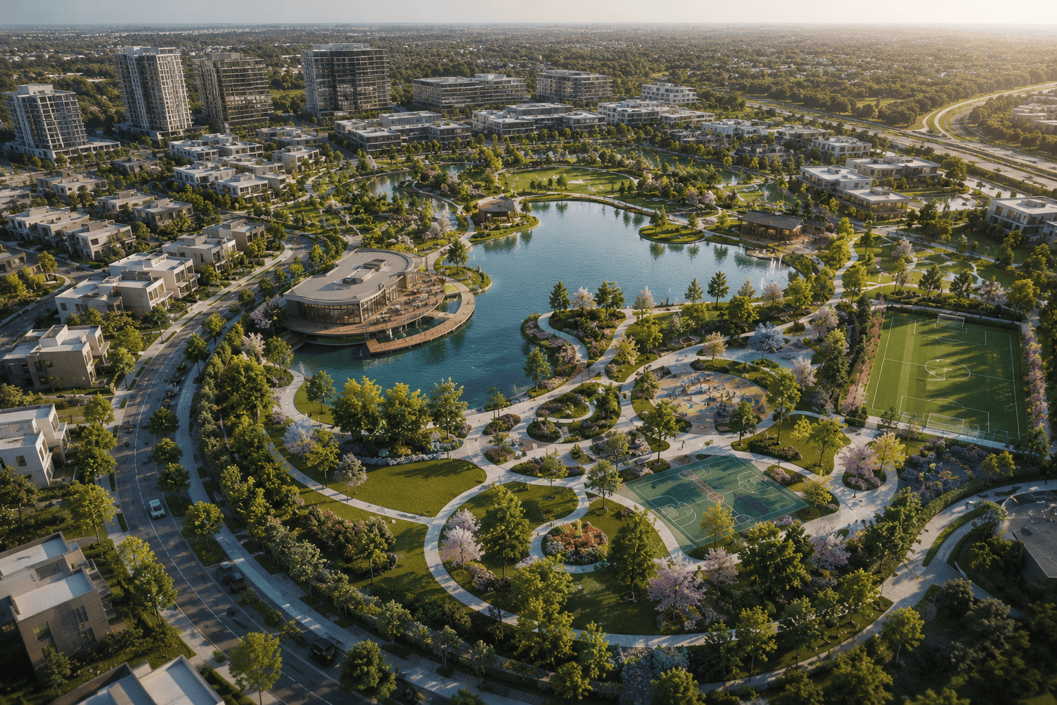
Mastering the Macro-Scale: Aerials and Street-Level Realism
Presenting a master-planned community requires a dual-perspective visual strategy to help stakeholders understand both the urban grid and the daily resident experience.
- Strategic Aerial Rendering: High-altitude CGI overviews map out the entire project footprint. These visualizations clearly demonstrate zoning transitions, roadway networks, green corridors, and how the development integrates into the surrounding regional topography.
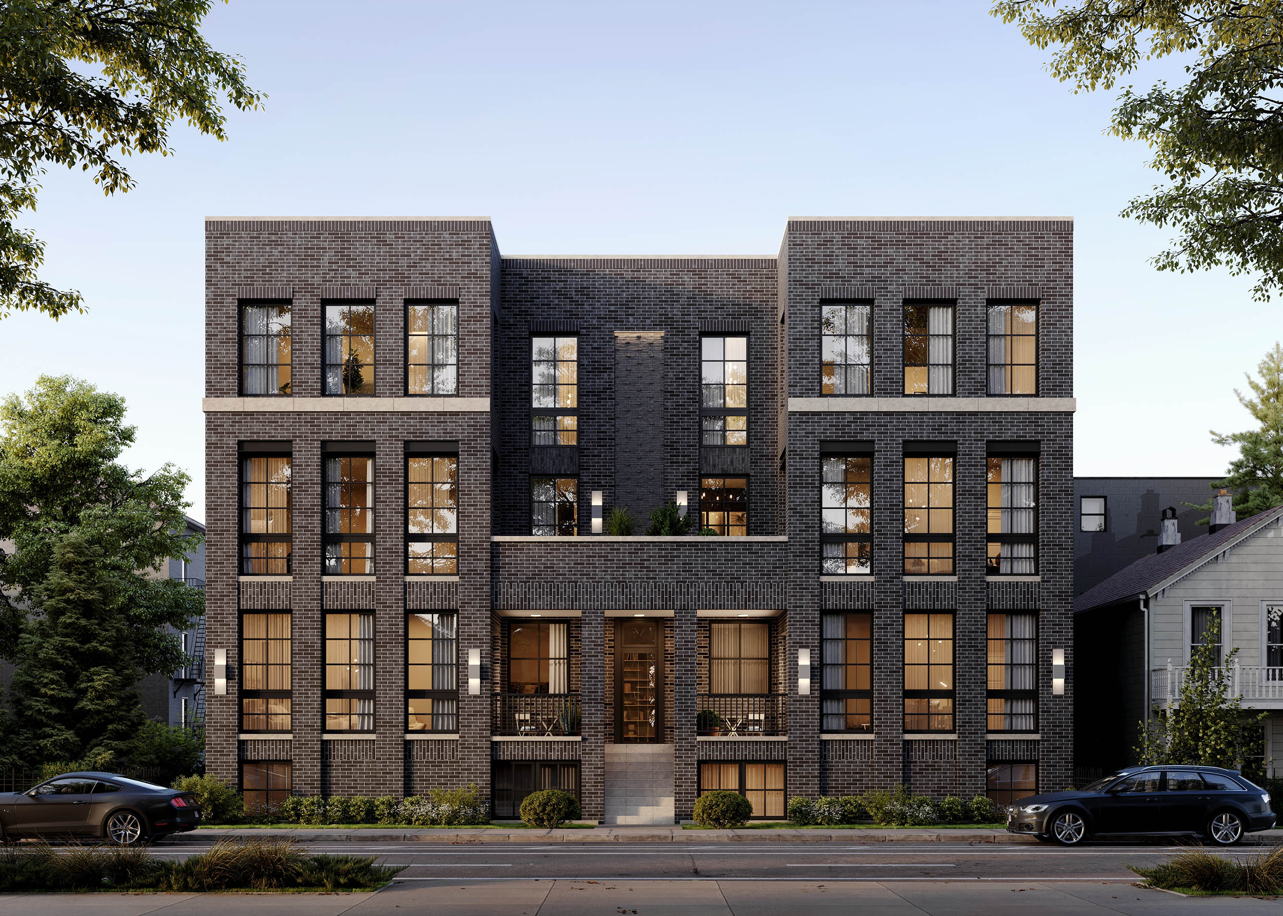
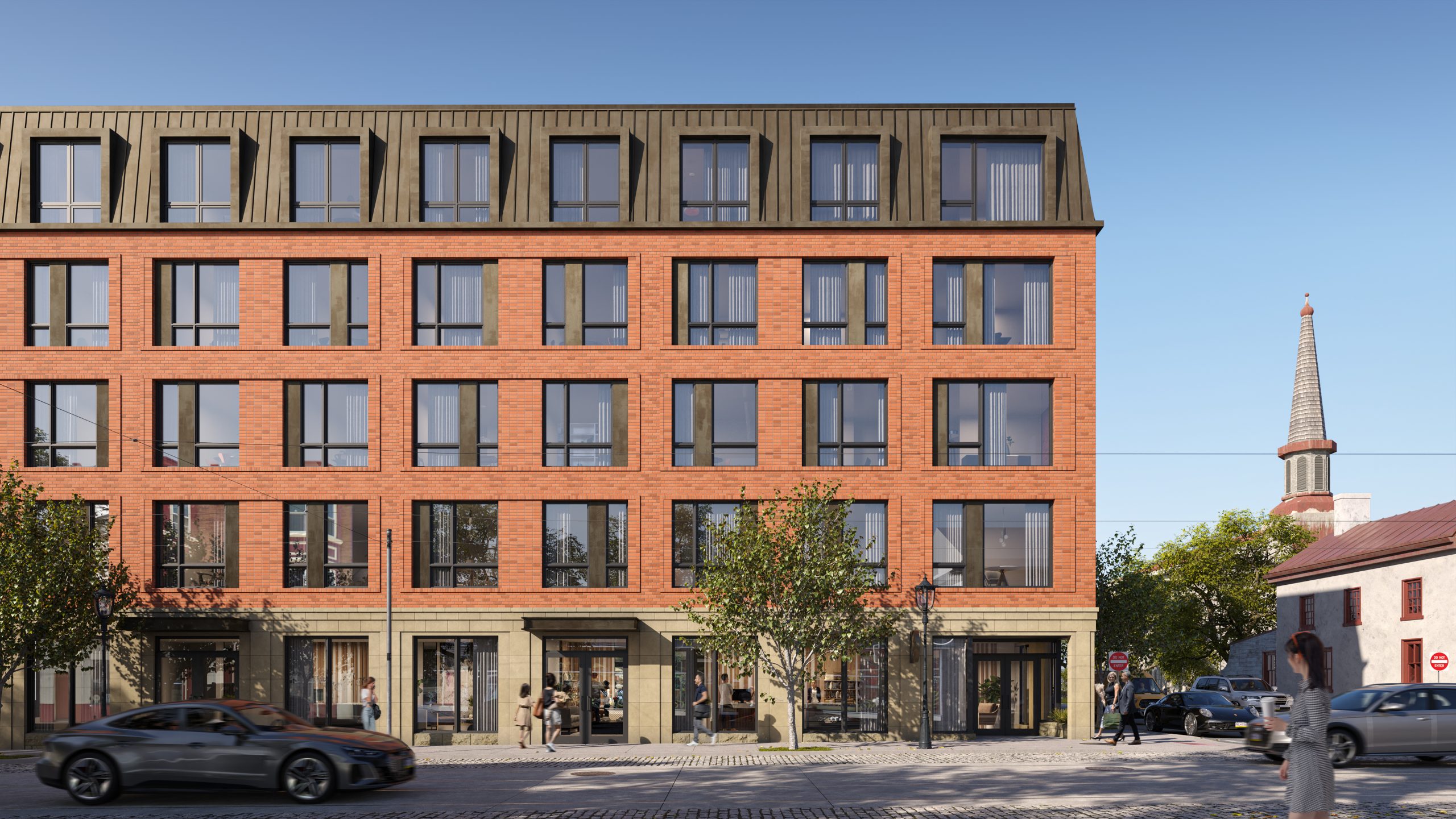
- Human-Scale Streetscape Views: While aerials prove structural logic, street-level renderings sell the lifestyle. By placing the camera on pedestrian promenades, artists capture the vibrant atmosphere of public plazas and residential cul-de-sacs — populating scenes with realistic crowds and active community spaces.
Simulating Nature: Foliage, Topography, and Seasons
The defining characteristic of landscape visualization is the presence of organic, living elements. Master-planned communities rely heavily on vegetation, water features, and geological accuracy.
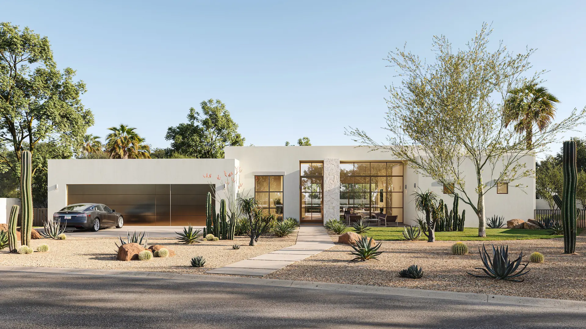
- Advanced Botanical Libraries: Modern visualization engines utilize hyper-realistic 3D plant libraries. Instead of generic placeholders, professional renders feature species-specific trees, native shrubs, and textured ground cover that reflect the actual regional flora of the site.
- Seasonal and Lighting Scenarios: Landscape architecture changes dramatically throughout the year. High-end CGI allows developers to showcase a central park during a summer afternoon or a golden autumn sunset, proving that the public realm remains captivating year-round.
Accelerating Municipal Approvals and Community Buy-In
Large urban developments frequently face intense scrutiny from city zoning boards and local stakeholders. Public resistance often stems from a fear of the unknown or an inability to decipher technical civil engineering blueprints.
Photorealistic 3D rendering acts as a powerful tool for consensus building. When planning committees can see how a proposed development preserves green spaces, manages stormwater through aesthetic retention ponds, and enhances the neighborhood fabric, opposition diminishes. Clear visualization builds immediate public trust and drastically accelerates the regulatory permitting timeline.
Ultimately, professional landscape CGI transforms a complex development timeline into an immediate, compelling reality, helping developers drive pre-sales and secure institutional funding.