What Is Site Plan Rendering?
3D site plan rendering turns a measured drawing into a picture without losing the measurements. The plan shows the whole development from directly above, to scale: lots and their numbers, house types, roads and parking, phases, amenities, landscaping and the lay of the land, with a legend and a north arrow. Unlike a survey, it can be read by someone who has never opened a drawing; unlike a marketing illustration, it can be measured.
That double use is the reason to commission one. The same site plan goes into the planning submission, where a reviewer scales setbacks and road widths off it, and onto the sales board, where a buyer finds their lot in five seconds. Both versions come from one base, so the plan the buyer sees is the plan that was approved.
We have drawn site plans for developers since 2010, usually for the same projects whose buildings and interiors we render.
Who We Draw Them For
Developers. A master-planned community or a multi-building development needs a site plan for approvals first and for sales second, and the two are usually months apart. We build the measured base once, deliver the technical variant for the submission, then the branded variant for the sales center, and keep it current through the sales period: sold markers, phase releases, house-type changes. For the buildings themselves, the same team produces residential renderings; for a commercial or mixed-use site, commercial rendering.
Architects and planners. A site plan that reads at a public hearing and in a design-review packet: lots, setbacks, access, open space and phasing on one sheet, legible to the board and defensible when measured. Where a full building model is needed as well, see 3D architectural modeling.
Land and lot sales. Agents selling lots in a subdivision use the plan as the map buyers choose from: lot lines, sizes, orientation, distance to the amenities, and which lots are still available, updated as they sell. For a single lot with one house, the plan pairs with house rendering.
Where the Drawing Pays for Itself
One geometry, two drawings. The technical variant carries lot boundaries, setbacks and road widths that survive being scaled off the sheet. The marketing variant carries branding, lot numbers and finished landscaping. Both come from the same base, so a discrepancy between what was approved and what is being sold never has to be explained at a sales desk or at a hearing.
Phasing without redrawing. A development built in stages needs the same site shown three or four ways over several years. Phases sit on their own layers, so releasing phase two is a color change rather than a new commission, and the phases stay consistent because they were never drawn separately.
Legible at both sizes it is used. A site plan lives on a large board in the sales center and as a thumbnail on a phone. We test it at both. Anything that vanishes at thumbnail size gets stronger contrast; anything that turns into noise at full size gets simplified. Plans drawn for one size and used at the other are the most common thing we are asked to fix.
Kept current as the development sells. Layered files mean lot numbers, sold markers, house-type colors and phase releases can be updated across the whole sales period without starting over. On a development that sells over two years, the board in the sales center still matches what is left.
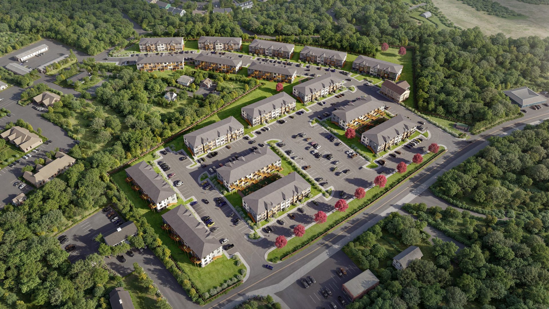
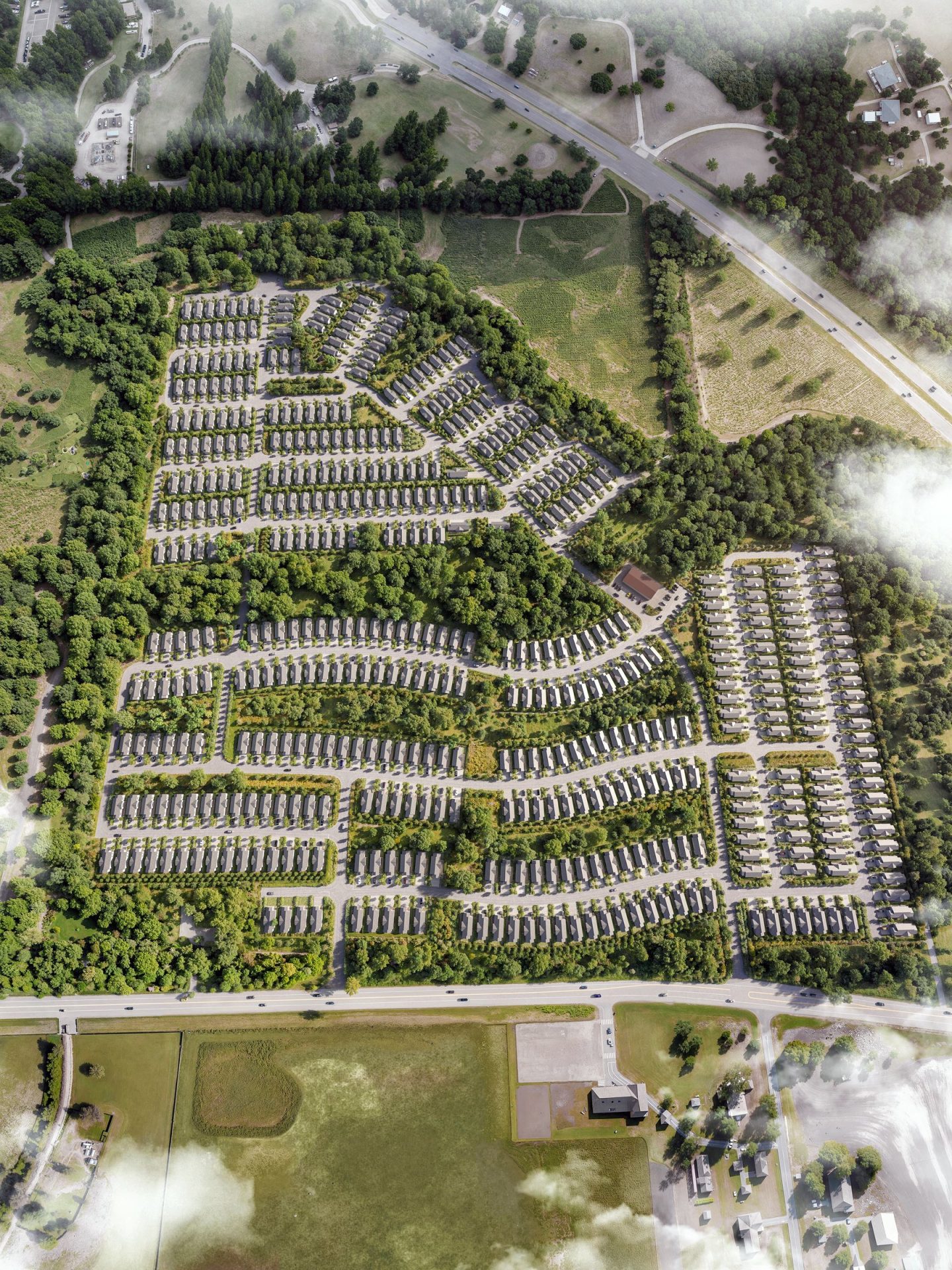
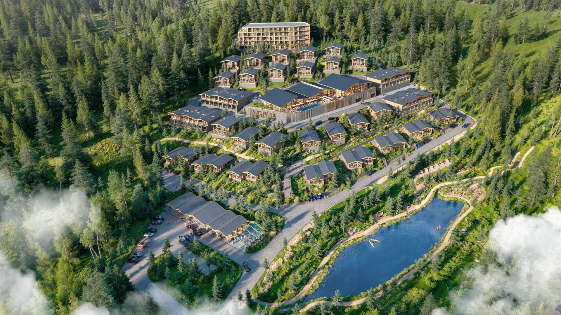
Site plan or aerial view. A site plan is measured and read from directly above; you use it to understand a layout. An aerial view rendering is a perspective image from height; you use it to sell the place. Most developments want both, and both come from the same model. For a building seen from the street, see exterior rendering services.
Types of Site Plans We Produce
Master-planned communities
Lots, house types, phases, amenities and open space on one sheet, with a legend that lets a reviewer and a buyer read the same drawing. The base is built to survive the whole sales period.
Single-lot and infill plans
One house on its lot: setbacks, driveway, grading, trees to be kept, the neighbors. Used for permit submissions and for selling a lot-and-plan package before the house exists.
Commercial and mixed-use sites
Buildings, parking counts, loading, access and circulation for an office, retail or mixed-use development, where the plan has to satisfy a traffic reviewer as well as a tenant.
Landscape and public-realm plans
Parks, plazas, streetscapes and amenity areas, with planting, surfaces, water and play areas drawn to the landscape architect’s plan.
Plans as part of a sales pack
The site plan sits beside the 3D floor plans and the unit renders and uses the same lot and unit numbers, so a buyer can follow one number from the lot map to the floor plan.
How the Work Goes: Five Steps
1. Survey, boundaries and phasing. We start from measured input: the survey, lot boundaries, road centerlines, grades, the master plan, and the phasing if the development is built in stages. We also ask what the plan is for, because a planning submission and a sales board need the same geometry with a very different emphasis.
2. Base built to scale. The site is built to scale and checked back against the survey. Lot sizes, setbacks and road widths have to survive being measured off the drawing, because somebody will measure them. Nothing decorative goes in until the base is right.
3. Legend, numbering and orientation. Lot numbers, house types, phase colors, amenities, parking counts and the north arrow are laid out as a system rather than added one by one. A consistent legend is what lets a reviewer and a buyer read the same plan without explanation.
4. Color, landscaping and legibility. Planting, surfaces and shadow go on, and the drawing is tested at both sizes it will be seen: the large board and the phone screen. Contrast is raised where detail disappears, and detail is simplified where it turns into noise.
5. Layered delivery. You receive the site plan in the versions the project needs: a clean technical variant for submissions, a branded marketing variant, and layered files so lot numbers, sold markers and phase colors can be updated as the development sells. The price includes two rounds of revisions.
Site Plan Rendering Cost
Site plans are quoted individually rather than from a price list, and it is worth saying why: a twelve-lot infill development and a four-phase master plan with hundreds of lots are the same service and very different amounts of work, and the plan’s job, submission or sales board, changes the level of finish as much as the size does.
What sets the price:
- Number of lots and buildings. The clearest driver of modeling time.
- Phasing. Each phase needs its own presentation layer.
- Topography. A level site is quicker than one with retaining walls and grades.
- Landscape detail. Planting plans, water, play areas and surfacing add work.
- Output variants. Technical, marketing, phase releases.
- Quality of the survey. Clean CAD shortens the job; a scanned PDF lengthens it.
Send the survey or master plan, the house-type schedule and a note of what the plan is for. A fixed price, a schedule and an itemized scope follow within 24 hours, so the quote can be compared line by line with any other.
Why Developers Come to Freedes
- Built from the survey. The base is checked against the survey before any landscaping goes on, so the plan holds up when a reviewer scales it.
- A living document. Layered files and a base kept separate from the presentation, so two years of sold markers and phase releases never require a redraw.
- Same model as the rest of the launch. The site plan, the aerial view, the unit renders and the floor plans are drawn by the same people from the same survey, so numbering and phasing agree everywhere.
- Private until the hearing. Plans for unreleased developments stay confidential; a non-disclosure agreement is signed when you ask.