What Is Aerial View Rendering?
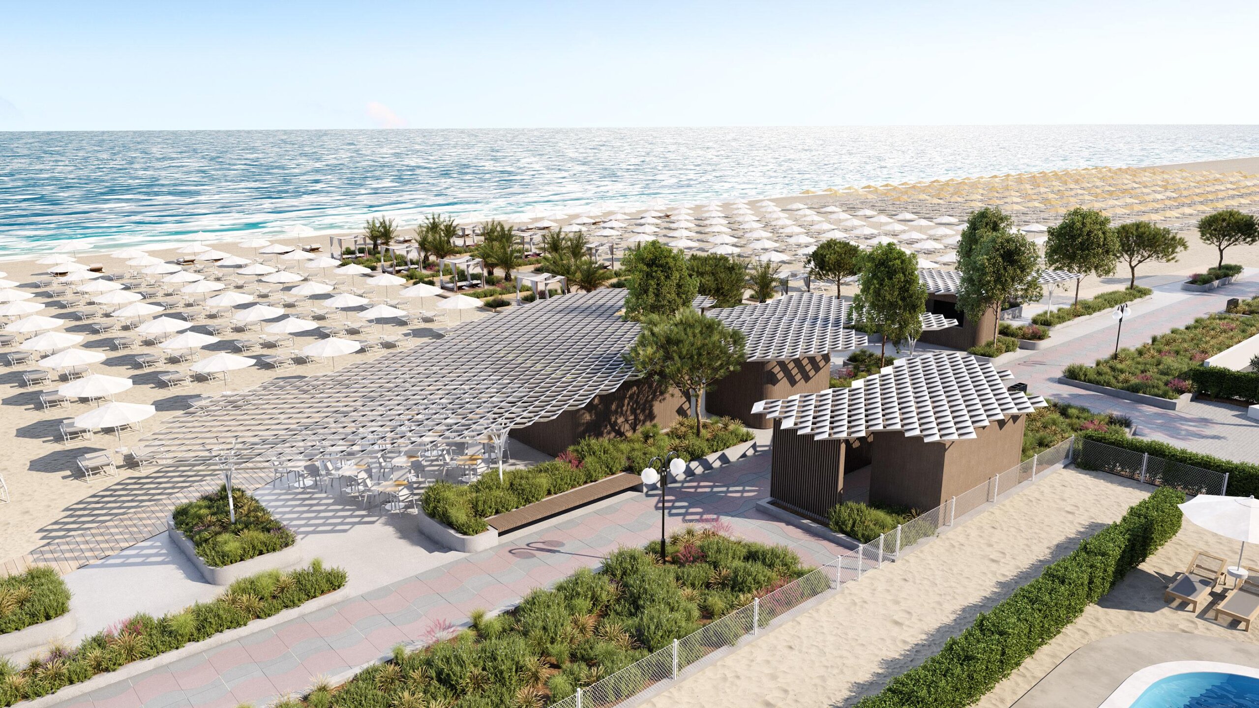
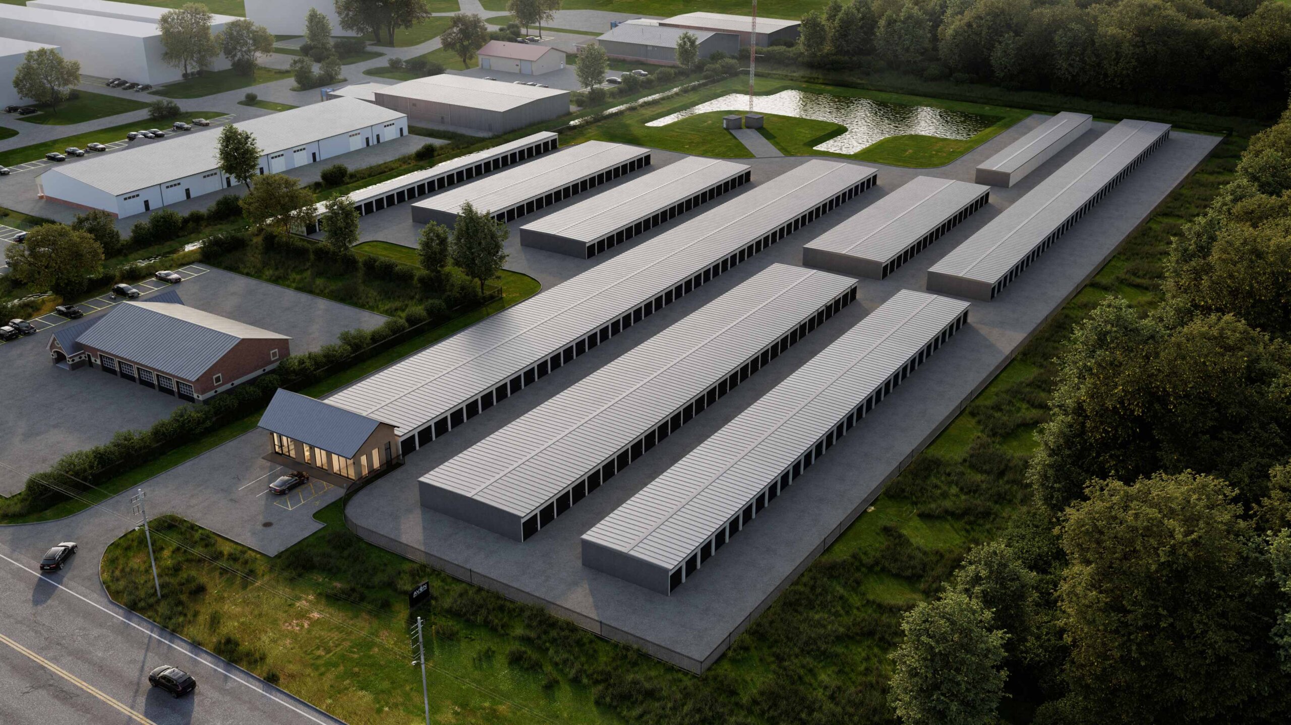
Aerial view rendering shows a project photorealistically from above, from a camera placed anywhere between rooftop height and a few hundred feet up. It is built from your drawings and a 3D model of the surroundings, so it shows the finished development in its real setting: the streets it meets, the water it overlooks, the park two blocks away, the neighbors on either side. Drone photography shows the site as it is today. An aerial rendering shows it as it will be, in the season and light that suit the argument you are making.
Developers use it as the opening image of a launch: the brochure cover, the site banner, the first slide of an investor deck, the picture a planning board remembers. We have produced aerial views since 2010, usually as part of the same set as the ground-level exteriors and interiors of the project.
Who Commissions Aerial Views
Developers. A multi-building or master-planned development is hard to explain from the street and easy to explain from the air. One bird’s-eye view shows the whole layout, the phasing and how the project sits in its neighborhood, and it does the work of a dozen ground-level images in a brochure or a deck. From the same model we also make the residential renderings of the individual buildings.
Architects and planners. For design review and public hearings, an aerial view shows massing, access and open space in context, in the neutral daylight a board expects. It sits beside the elevations and the plans in the architectural rendering set and answers the questions the drawings raise.
Brokers and commercial owners. Retail, office and industrial sites are sold on access, visibility and parking, and all three read best from above. An aerial view of a commercial development shows the highway frontage, the loading side and the walk from the parking lot before a tenant asks; the street-level set for the same building is commercial 3D rendering.
What the View From Above Does
The whole project in one frame. A development of forty houses needs forty street-level images to cover, or one aerial view. For a brochure cover, a site banner or the first slide of a deck, that single image does more than any other in the set, and it is usually the one people remember the project by.
Context you cannot photograph yet. A drone records what exists. An aerial rendering places the finished project among its real neighbors, the mature trees, the river and the access road you have not built yet. It also leaves out what you would rather not show: the construction yard, the crane, the half-demolished building next door.
Height, angle and light are decisions. A low three-quarter view flatters architecture. A steep, high view explains a master plan. Evening light sells apartments; flat daylight reassures a planning board that nothing is hidden. Each of these is set per image, instead of being whatever the weather allowed on the day a drone could fly.
One model, several outputs. The context model built for the aerial view also feeds the ground-level exterior rendering, the measured plan of the site and the flythrough. Ordered together they share one modeling job; ordered a year apart, each pays for it again.
Not a site plan. If someone needs to count lots, check a setback or read phasing, they need a site plan rendering: a measured drawing seen from directly above. The aerial view is the perspective picture of the same development, and we build both from one model when the project needs both.
Types of Aerial Views We Produce
Low bird’s-eye views of a single building
A camera 100 to 130 feet up, close enough that the architecture still reads as architecture: roofs, terraces and the entrance are all visible, and only a block or two of context has to be built. This is the most flattering aerial angle for one building and is often the second image commissioned after the street-level view.
Master plan aerials
High, steep views that show a whole development at once: road layout, phases, open space, and how the project meets what is already there. These are the images planning boards remember, and they need the most context modeling of anything we produce.
Residential development aerials
Subdivisions and multifamily communities shown as places rather than as buildings: yards, streets, parking, play areas, the walk to the shops. Evening light and a populated scene sell these better than technical accuracy alone, because the buyer is imagining living there.
Commercial and mixed-use aerials
Retail centers, campuses and city blocks, where the aerial has to explain access, servicing and the relationship to transit as much as it sells the architecture. Investors and tenants read these before anything else in the offering memorandum.
Aerial flythroughs
The same context model in motion: a camera circling the project or approaching it from a distance, produced as 3D animation. Commissioned together with the stills it costs far less than it would six months later, because the expensive part, the surroundings, is built once.
How We Build One: Five Steps
1. Drawings and surroundings. We collect the site plan or master plan, the building drawings or models, the landscape intent, and whatever exists of the surroundings: survey, mapping data, drone or street photography. On an urban site the neighbors are part of the argument, so we build them to the map, with street photography for the facades that will be visible.
2. Camera in gray. Height, angle and framing are agreed on a gray model before any material or lighting work starts. Moving the camera after lighting means a new image, so this stage is worth the day it takes.
3. Model and context. The project and its surroundings are modeled to the accuracy the frame needs: what is close and large is built in detail, what is far and small is built to read correctly at the final resolution.
4. Materials, landscape, light and life. Facades, roofs and paving get their materials; planting, water and terrain go in; the time of day is set; cars, people and boats populate the scene at the density the image calls for.
5. Review and delivery. You see the full-resolution image, we take two rounds of corrections, and the final files are delivered in the crops you will actually publish: brochure spread, banner proportions, portal thumbnail, deck slide. A layered version is available where marketing wants to overlay text.
Aerial View Rendering Cost
Aerial views start at $1,000 per image and are quoted per project from there. The building itself is often the quick part; the four streets around it, the mature trees and the neighboring blocks are most of the work, and on an infill site in a city they cannot be skipped. The 3D rendering cost guide places aerial perspectives in the upper band of exterior pricing for the same reason.
What sets the price:
- Amount of context. How far the visible surroundings extend and how accurate they must be.
- Camera height. A higher camera brings more of the city into frame, and everything in frame has to exist.
- Project size. Forty houses take longer than one building.
- Time of day. Dusk and night views take more lighting work than a daytime frame.
- Number of views. The second angle from the same model is much cheaper than the first.
- Existing material. A model or plan already built with us shortens the job.
Send the master plan, the building drawings and any survey or photography of the surroundings, and say where the image will be used. You have a price and a delivery date within 24 hours.
What You Get With Freedes
- Real surroundings. Neighbors, roads and terrain are built from mapping data and photography, so a local will recognize the street and the corner.
- The camera is a decision. Height, angle and light are proposed for the job the image has to do, whether that is a sales brochure or a public hearing, and agreed before the expensive work begins.
- One model for the whole launch. The aerial view, the street-level exteriors, the measured plan and the flythrough come from the same files; nothing is rebuilt when the second image is ordered.
- Confidential until launch. Nothing you have not announced appears in our portfolio, and we sign an NDA when you need one.